

Up to the minute
Weather today
Temperature
12 °C / 23 °C
Sunshine hours
6 h


Weather forecast for Kappl
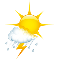
How’s the weather?
High-pressure systems will largely determine the weather in the coming days. At the same time, air masses of subtropical origin are increasingly moving in again, so we can expect another spell of extremely hot midsummer weather. The sun is expected to shine for extended periods on Tuesday and in the days that follow. Although a few cumulus clouds will occasionally appear over the mountains in the afternoons and evenings, they will remain relatively small—and therefore harmless—for the time being. Cumulonimbus clouds are expected to grow somewhat larger on Wednesday and continue to do so as we approach the weekend. Consequently, a few thunderstorms cannot be ruled out, and due to the heat, isolated severe storms are even possible.
CURRENT WEATHER SITUATION
LIVE from KAPPL
scroll
Live from Kappl
CURRENT KAPPL WEATHER SITUATION
Your stay in Kappl is approaching - now it's time to pack your bags! Important now: a precise weather forecast. But in Kappl, no weather forecaster is needed. The latest data and live images are available via webcam .


Stay Tuned & Stay involved
What inspires – and what matters