
Description
02
Description
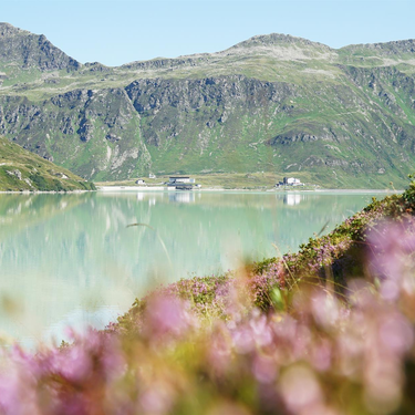
The starting point of this Bike & Hike route is the information office in Galtür. On a gravel path along the Trisanna River and parallel to the road, you bike up to the Bielerhöhe (2,037 m). The bike can be parked in the bike depot at the Piz Buin mountain inn. The inn with its large sun terrace and view of the Silvretta reservoir is perfect for a short break. Then the hike begins. First follow the hiking trail along the Silvretta reservoir, then stay on the left and continue along the trail in the direction of the Bieltal valley. The path now leads further through the beautiful valley, always with the Bieltal Ferner in sight. At the fork below the Radsee lake (2,470 m), follow the signs up to the Radsattel (2,652 m). From here, the ascent to the Hohes Rad (2,934 m) takes you through rocky terrain. At the summit you can enjoy the view of the Bielerhöhe with the Silvretta reservoir and, to the south, the Ochsental glacier and Piz Buin (3,312 m).
Info: The summit of the Hohes Rad (2,934 m) is located on the border between Tyrol and Vorarlberg.
Arrival
Parking
Public transport
With the railway station in Landeck, the Paznaun is optimally connected to the Austrian train network. From Landeck-Zams station, only a short bus ride separates you from the Paznaun. Every half hour, line bus 260 runs from there through the valley.
Bus stop: Galtür Dorfplatz
Buses in the Paznaun valley | Region Paznaun – Ischgl


